Next month my sister Joan will join me for a work trip to Crow and Fort Peck, two reservations east of here, where we will record audio and video for the work I do on Indigenous languages. In case you are unfamiliar with the scale of this state, Fort Peck is a 10-hour drive from my house. I am thrilled to be breaking out the Sisters Tour Bus for this week of certain hilarity, a reprise of the days we spent hauling our parents’ worldly possessions from the Canadian border to the Mexican border a couple of summers ago. At least this time we’ll be in a sporty Subaru and not a 26’ Penske.
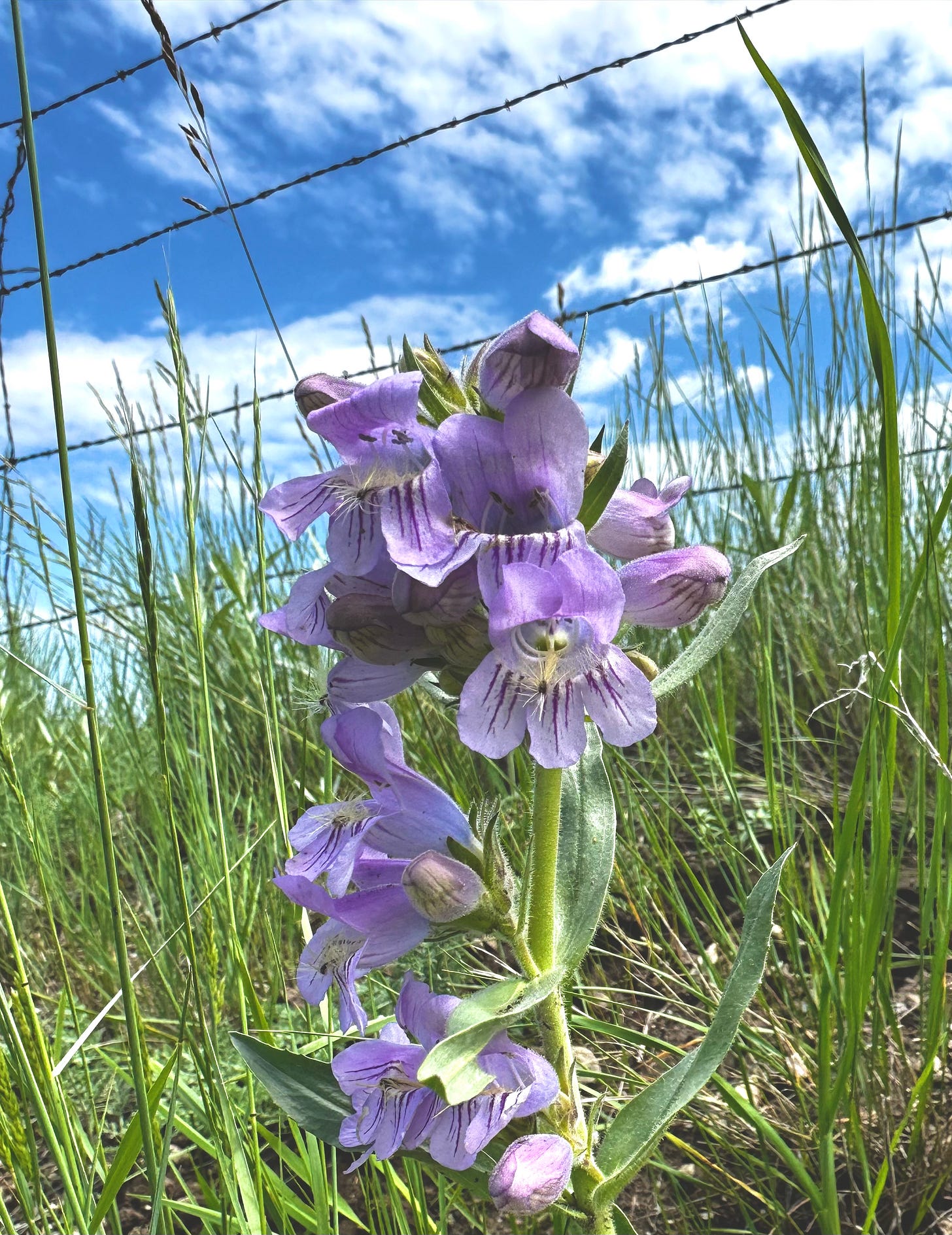
This weekend I was out enjoying the gorgeous June green that blankets our state right now, and ended up on a rollicking back road through rolling fields of wildflowers. I was thinking to myself, perhaps Joan and I will be able to find some backroad delight during our trip - and then I remembered about eastern Montana that it’s mainly ag land. That means the roads will serve a single purpose as straight, flat pasture dividers.
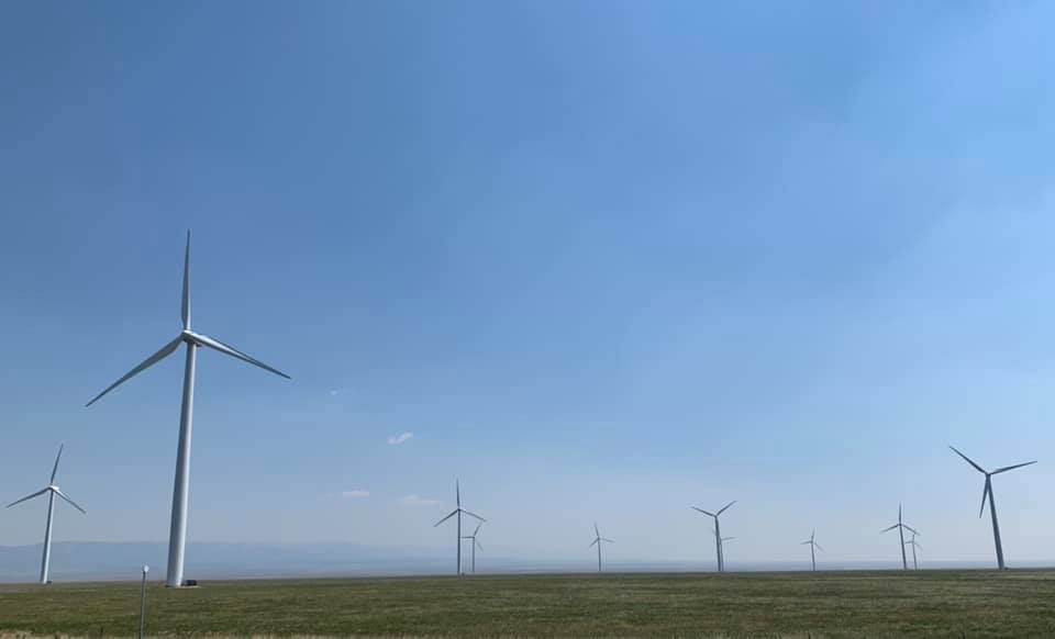
Montana is a fascinating place in this way: the western part of the state cleaves dramatically from the eastern: topography, geology, flora and fauna. You can see it in tribal lifeways and languages - who’s a plains tribe and who is a waterways tribe (and who is both). You can see it in last names reflecting colonizer/homesteading patterns. You can see it in economic efforts - agriculture, mining/timber, oil/coal, tourism.1 I imagine descending from the Rocky Mountain Front onto the grassland and into cattle-and-oil country, and how this change in landscape and people will wash over me as we push relentlessly eastward.
When you view us on a map, you can clearly see that both Montana and Idaho should have been roughly rectangular, by the shapes of all our neighbors. There is a complicated history you can read here, but basically it’s this: Montana and Idaho were one big sideways rectangle in pre-territory days, and then Montana seceded and successfully demanded to use the Bitterroot Mountain range as the border between the two. Done. Had this political mapping not occurred, Montana would be flat like another Dakota, Idaho greedily clawing up all the mountains with their stunning peaks and abundant wildlife. Sorry Idaho, no; you don’t get to keep all the Western Tanagers.
Joan and I will loop from Missoula to Crow where we’ll spend an afternoon with my language partner there, executing some recording to insert into the Apsáalooke course I developed last fall with the Crow Language Consortium. Then we’ll point ourselves north to Fort Peck, a place I’ve been once, via train, in 1996. After two+ days of recording there, we’ll loop back through American Prairie and overnight in their Antelope Creek Campground. I cabined there once, two summers ago. It is near the Upper Missouri River Breaks which I mentioned in another newsletter.
Regardless of the prairie infinity we are sure to experience, I know the trip will fulfill us. The map doesn’t lie, but it also doesn’t tell the stories. Those we will read on the brown boards,2 in the sleepy towns dotting these two-lane roads, on the faces of the motel workers, and in each other, as we rumble from pasture to prairie, dust and grasshoppers rising like storm clouds.
As a Montana history teacher, I think of all this as the extraction economy.
what I call the historical highway markers placed all around the state. I once interviewed Jon Axline, the primary author of these markers, about his technique for making them both fascinate and educate motorists. Tell a story, he said.


I also (as you know from my FB posts) think of it as going from Columbia River headwaters tribes to Missouri River headwaters tribes…and vice versa